Freya Patterson · 3 October 2026
How Railway Expansions Altered Transportation Networks Around Lake of the Woods Settlements
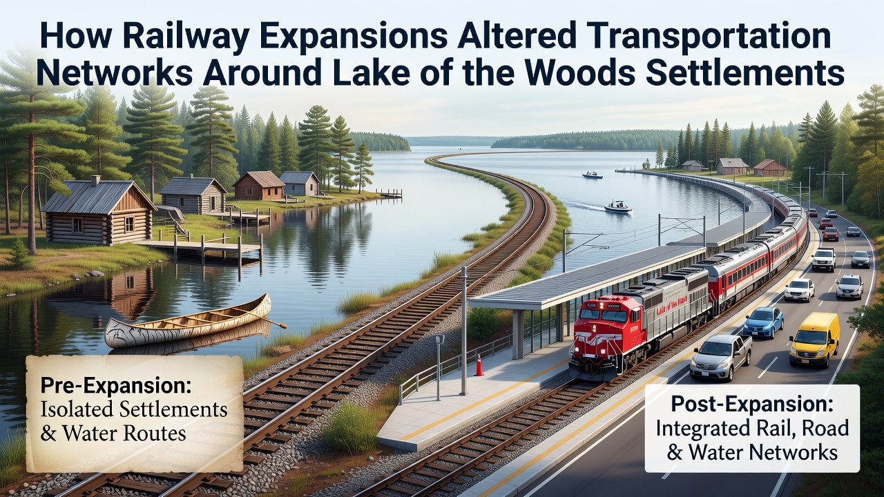
Settlement patterns around Lake of the Woods relied on water routes for generations until railway lines reached the area in the late nineteenth century, and those lines quickly reoriented trade, passenger movement, and supply chains across the international boundary between Ontario and Minnesota. Historical records show that the Canadian Pacific Railway completed its main line to Rat Portage, now known as Kenora, in 1882, while the Duluth and Winnipeg Railroad pushed northward from the United States side a few years later.
These connections replaced seasonal steamboat schedules with year-round timetables, yet water transport continued on shorter hauls because many communities still sat on isolated islands or bays without direct rail access. Data from regional transport archives indicate that freight volumes shifted dramatically once sidings and warehouses appeared at railheads, allowing grain, lumber, and mining outputs to move inland rather than only along lake corridors.
Pre-Rail Transport Limitations
Before tracks arrived, goods traveled by canoe, York boat, or steamer between Hudson's Bay Company posts and later commercial docks, and schedules halted during freeze-up and spring breakup. Observers note that travel times stretched into weeks for shipments between Fort Frances and Kenora, while winter ice roads offered only temporary relief and carried limited loads. Settlement growth remained tied to shoreline locations because reliable overland routes did not exist across the rugged Precambrian shield terrain.
Railway Construction Timeline and Routes
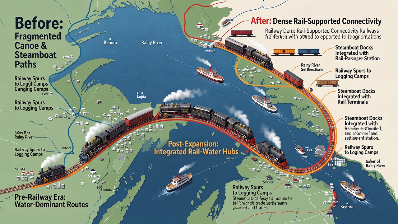
Engineers surveyed multiple alignments during the 1870s and 1880s, and the chosen Canadian Pacific route followed the lake's north shore before turning west toward Winnipeg. Branch lines later extended to Keewatin and other milling centers, while American railroads built spurs that reached Warroad and Baudette on the south shore. Construction crews laid track through muskeg and rock cuts, and supply trains themselves became the first regular traffic once segments opened. Figures from railway company ledgers reveal that the number of carloads crossing the border increased steadily after 1890, coinciding with expanded customs facilities at both Kenora and Rainy River.
Economic and Demographic Shifts
Once rail service stabilized, sawmills and grain elevators relocated to trackside locations because direct loading reduced handling costs and spoilage risks. Population counts in Kenora rose from a few hundred residents in 1881 to over four thousand by 1901, and similar growth occurred in communities that gained stations. Merchants who had operated waterfront warehouses added rail sidings, and some waterfront businesses declined when shippers found cheaper rates on the steel lines. Studies of land records show that property values near new stations climbed faster than those on remote islands, prompting residents to relocate inland or build connecting roads.
Passenger services introduced sleeping cars and dining cars that made long-distance travel practical for settlers and business travelers alike. Timetables published in local newspapers listed daily departures to Winnipeg and Duluth, and these routes carried mail, newspapers, and seasonal workers who followed logging and mining cycles. Cross-border traffic grew after the two nations coordinated customs procedures, although differing track gauges briefly complicated operations until standardization occurred in the early twentieth century.
Integration with Existing Water Networks
Rail operators quickly recognized that lake steamers could feed traffic to mainline stations, so they established transfer facilities at several ports. Freight arriving by rail could continue by water to smaller settlements, while timber floated down the Rainy River reached rail yards for onward movement. This hybrid system persisted into the 1920s because many fishing adn trapping camps remained inaccessible by land. Transport Canada documents indicate that combined rail-and-water rates remained competitive on certain commodities long after pure rail service expanded.
Twentieth-Century Adjustments and Infrastructure Upgrades
Branch lines consolidated during the 1930s and 1940s as highways improved and trucking captured short-haul traffic, yet the main corridors through Kenora and Fort Frances stayed active for bulk commodities. Diesel locomotives replaced steam power in the 1950s, and centralized traffic control systems later increased line capacity without adding tracks. Regional planning reports note that some abandoned spurs were converted into recreational trails, preserving the rights-of-way for public use while removing rails and ties.
As of October 2026, maintenance programs scheduled by provincial and state agencies target bridge replacements and track resurfacing along the original Canadian Pacific corridor, and these projects aim to support increased intermodal container traffic between western Canada and midwestern United States ports. Coordination between Transport Canada and the Minnesota Department of Transportation continues on cross-border signaling upgrades that reduce delays at the international boundary.
Conclusion
Railway expansions around Lake of the Woods redirected transportation networks from water-dominant patterns to integrated rail-and-road systems that persist today. Settlements that gained stations experienced sustained growth and diversified economies, whereas those bypassed by track often shrank or specialized in seasonal tourism. Ongoing infrastructure investments scheduled through 2026 demonstrate that the corridors established more than a century ago continue to shape regional logistics and connectivity across the international boundary.