Parker Bennett · 31 October 2026
Tracing Forgotten Portage Paths That Once Linked Remote Trapping Camps to Lake of the Woods Trading Posts
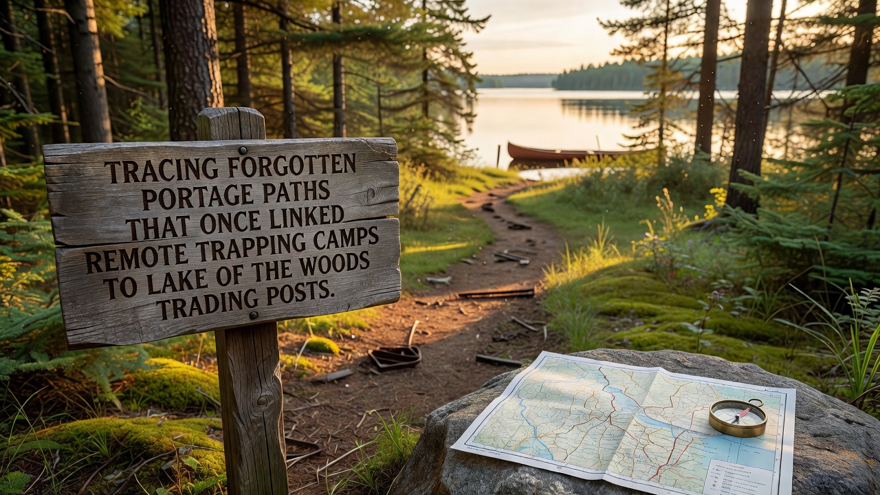
Portage paths around Lake of the Woods formed essential connections between isolated trapping camps and established trading posts during the height of the North American fur trade, and these narrow trails allowed travelers to bypass rapids while carrying canoes and supplies across land. Historical records from the 18th and 19th centuries document dozens of such routes that radiated outward from posts near present-day Kenora and into the surrounding boreal forests, where trappers harvested beaver, mink, and otter pelts before transporting them back to exchange for goods. Researchers at institutions like the Minnesota Historical Society have mapped several of these corridors using period journals and survey notes, revealing that many paths followed routes first established by Indigenous communities for seasonal travel and resource gathering.
Traders often departed remote camps in autumn after the trapping season concluded, and they navigated these portages in groups to manage heavy loads that included bundled furs, trade items, and provisions for the journey. One documented route stretched roughly 12 kilometers from a cluster of trapping cabins near the Rainy River headwaters to a post on the southern shore of Lake of the Woods, while another shorter path linked camps on the Winnipeg River system directly to storage buildings at Rat Portage. These trails typically measured between one and three meters wide, cleared just enough to accommodate two people walking single file with packs on their backs, and they featured landmarks such as blazed trees or rock cairns that guided users through dense undergrowth and swampy sections.
Methods Used to Identify and Document the Routes Today
Modern efforts to trace these forgotten paths combine archival research with field surveys, and archaeologists employ LiDAR imaging to detect subtle depressions and cleared corridors hidden beneath current forest cover. In addition, oral histories collected from local First Nations communities provide details about specific portage locations that do not appear on European maps, while soil sampling along suspected trails has confirmed elevated levels of charcoal and trade artifacts consistent with repeated human use over decades. Data compiled by Canadian heritage agencies shows that at least 40 distinct portage segments have been verified within a 50-kilometer radius of the lake since systematic documentation began in the late 20th century.
Seasonal conditions influenced which routes remained active, because spring flooding sometimes submerged low-lying sections and forced travelers to select alternative higher ground, whereas winter snow cover allowed sled use in place of portaging. Trapping camps themselves operated on a temporary basis, often consisting of simple log shelters or canvas tents that trappers dismantled or abandoned after the season, yet the connecting paths persisted as visible features in the landscape long after the structures disappeared. Evidence suggests that some paths remained in limited use into the early 20th century for recreational and supply purposes before road networks gradually supplanted water-based travel.
Archaeological Findings and Preservation Efforts
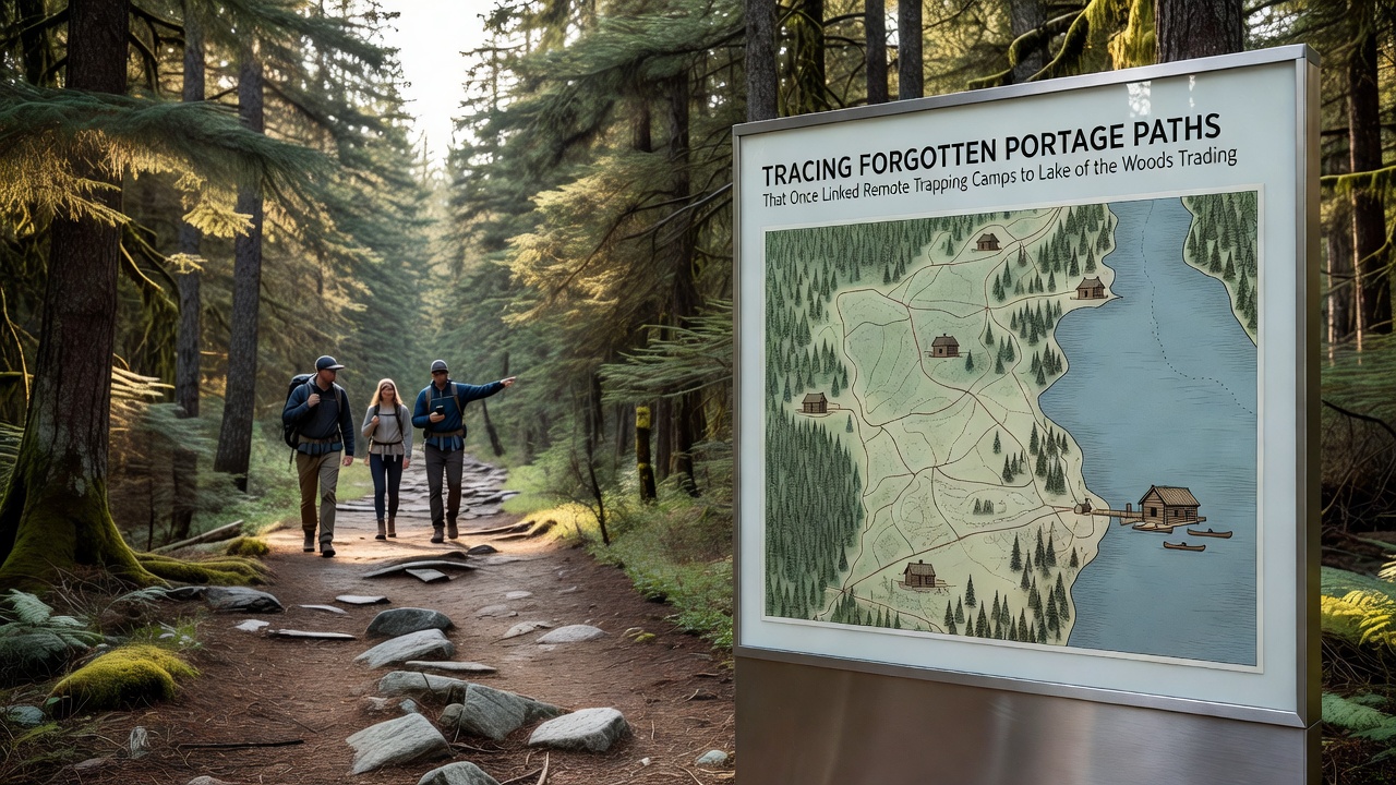
Excavations along identified portage segments have yielded metal trade goods, glass beads, and fragments of wooden canoe parts, and these items help establish timelines for route usage that align with peak fur trade activity between 1780 and 1850. Conservation projects coordinated across the Canada-United States border focus on protecting these corridors from erosion and modern development, while educational programs introduce visitors to the labor-intensive nature of portaging through reconstructed demonstrations at heritage sites. In October 2026, joint fieldwork teams plan to complete a new round of non-invasive surveys that will integrate drone mapping with existing records to produce updated digital trail models for public access.
Weather patterns and vegetation changes continue to affect visibility of the old paths, because regrowth of alder and willow thickets can obscure markers within a few seasons, and occasional wildfires have both destroyed and exposed segments depending on burn intensity. Those who study these routes note that portage locations often coincide with natural geological features such as eskers or narrow ridges that provided firmer footing, and this alignment reduced the physical demands on travelers carrying loads that could exceed 40 kilograms per person. Comparative analysis of similar trails in adjacent regions, including those documented in Manitoba and northern Minnesota, indicates consistent construction techniques across the broader fur trade network.
Conclusion
Tracing the portage paths that once linked remote trapping camps to Lake of the Woods trading posts reveals a layered transportation system shaped by both Indigenous knowledge and European commercial demands, and ongoing research continues to uncover additional segments that expand the known network. Preservation of these corridors supports understanding of historical mobility patterns while providing tangible links to the economic activities that defined the region for generations, and coordinated efforts between government agencies, academic researchers, and local communities ensure that physical evidence remains available for future study and interpretation.